
WASHINGTON — Today is a PinPoint Alert Day, and this is the day we’ve been watching.
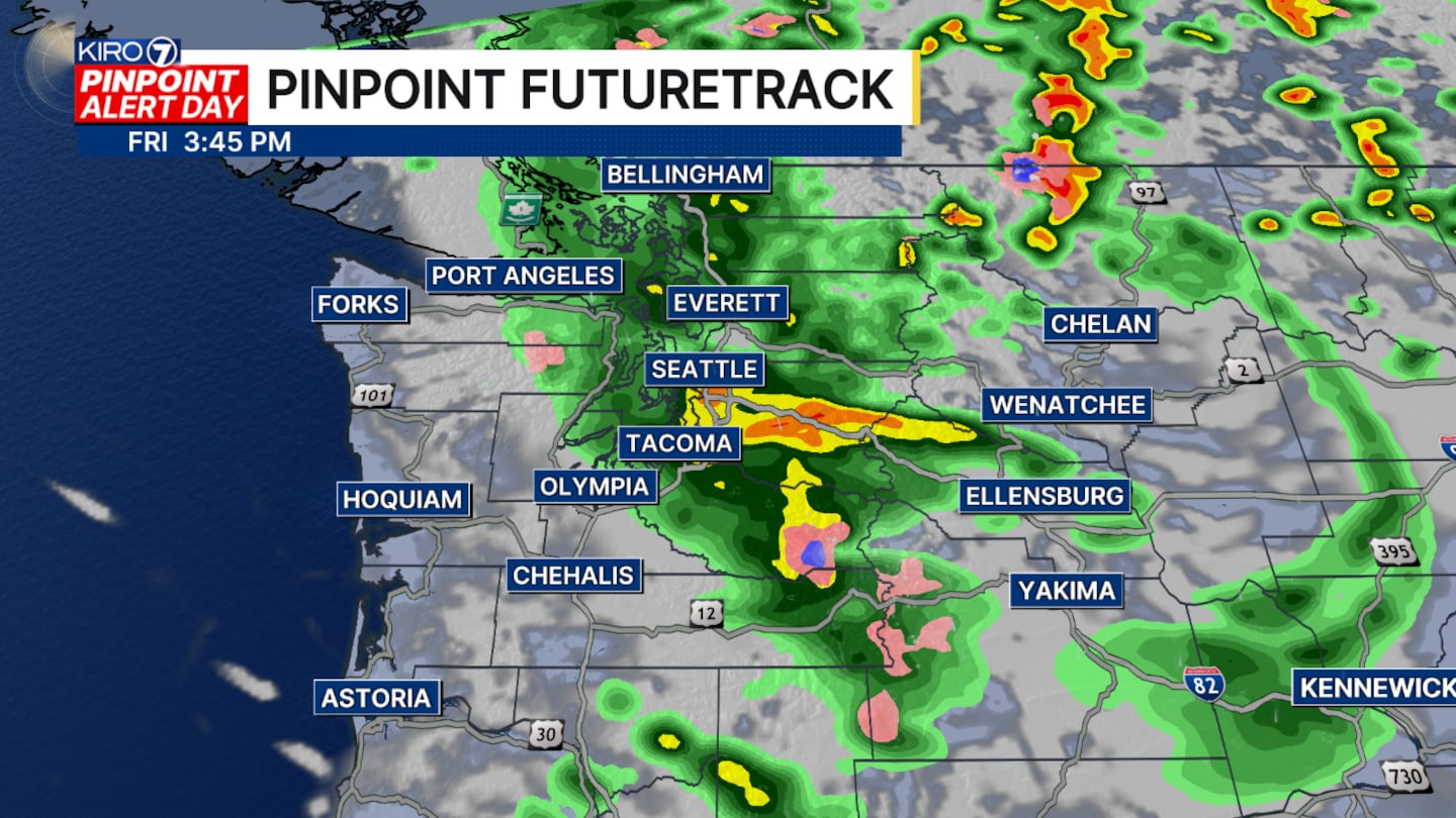
A compact but potent storm continues to move through the area and will be out of the picture by tomorrow.
The storm packed wind near hurricane force winds as it moved over southwest Washington this morning. A 70 mph gust occurred on the 101 bridge over the Columbia River near Astoria.
Other peak wind gusts today include:
Tumwater 54 mph
Olympia 54 mph
Centralia 44 mph
Hoquiam 41 mph
SeaTac 38 mph
Everett 38 mph
Bellingham 23 mph
The winds will continue to be strong this evening along the Strait of Juan de Fuca and the island. Whidbey and Camano could see gusts well over 40 mph through the early evening before calmer conditions set in tomorrow.
The Wind Advisory posted for parts of Washington south of Seattle expires at 5:00 p.m.
A second Wind Advisory for the Strait of Juan de Fuca and San Juan Islands expires at 8:00 p.m.
Temperatures tonight will be well below average, with most locations going down into the 40s by tomorrow morning.
This first storm of the fall season is just a one-day event, and the weekend forecast looks better. Skies will be partly sunny on Saturday and Sunday.
No rain is expected this weekend, although a few lingering showers may pop up along the Cascade Mountains Saturday morning.
Very chilly air will be in place this weekend, and you will notice it in the mornings.
Lows will drop to the 40s on Saturday, and it will likely drop to the 30s in some places by Sunday morning.
Daytime high temperatures will struggle to top out in the lower 60s this weekend.
The long-range forecast calls for rain showers to return next Tuesday.
©2026 Cox Media Group


